Day Four – Tutuwai Hut to Kaitoke and the track end
The evening of day three, we realised we had a problem. We had scheduled our pickup at the trail end for 1pm on day four. While this was easily achievable based on DOC’s estimation of a 4.5 hour hike, our track record wasn’t looking good for making the pickup on time.
So we set our alarms for 6am – before dawn. Ouch.
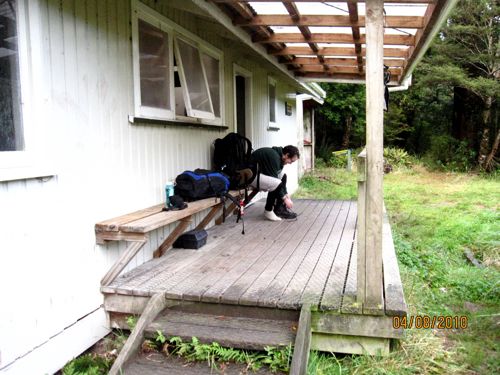
So, after bashing round the dark hut at zero dark thirty in the morning making porridge and getting our stuff together, we set off at first light.
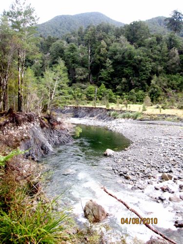
Unlike the 3rd days hiking, the last days track became not exactly easy very quickly as it wound along the bluffs above the river.
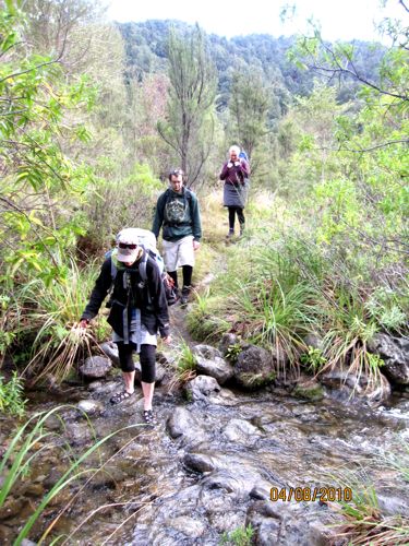
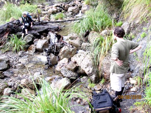
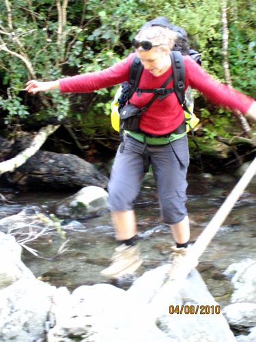
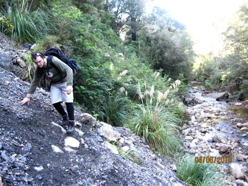
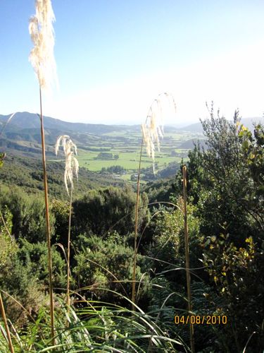
Sometimes the track barely scraped the cliff edges, and at other times it dropped quickly down into ravines with streams at the bottom that we needed to ford, and then climbed up steep scrambles of hillsides.
It was beautiful, but hard, hard work, and we were all tired out from our day of hiking the day before.
And every turn brought another obstacle! A stream, a hill, a ravine, a slip!
Poor Shell had picked up a cold on the first day of tramping, and she was feeling miserable on this portion of the tramp, trying to breath and climb at the same time.
In order to help her out, and help all of us move faster, The Naiad, Sir Snow and I divided her pack between the three of us.
This did help us move faster, but put a lot of pressure on my knee, which I had wrenched going over an obstacle.
Still, morale improved, and the sun coming out helped a lot.
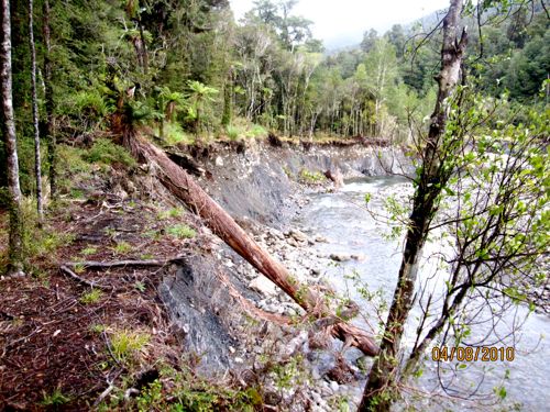
So did successfully bushwacking around a massive slip that had completely taken out the trail. We had to beat our way down to the river, scramble through the river for a few hundred metres (where I sliced my foot open), and then scramble back through dense bush to find the trail again, all of which took us a good hour – far longer than the 5 minutes of trail that was gone! Still, we had the satisfaction of practicing our bush skills.
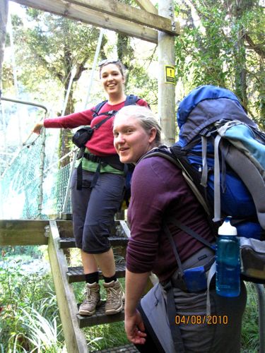
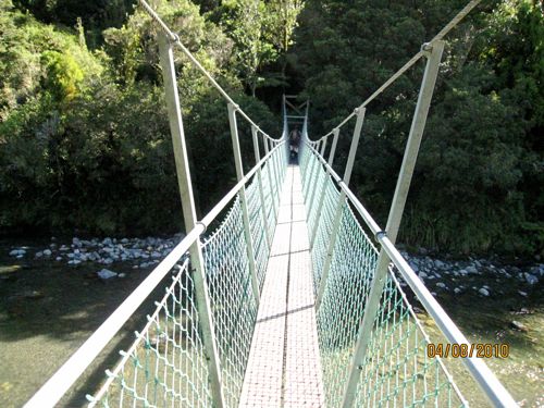
A few minutes after regaining the trail, we had the additional satisfaction of finding a major milestone – another swingbridge!
This one was quite civilised – 3 people at a time!
Still, I’m not good at heights, so I insisted on going across alone, clutching tight onto the railing with one hand, the other holding The Naiad’s strapless camera in a death grip, trying to document the crossing without dropping the camera, or dyeing of fright.
The only time I got to enjoy the view off the bridge was looking at the photos afterwards!
There were more crossings in the next few kilometres, though none so big as to have a bridge.
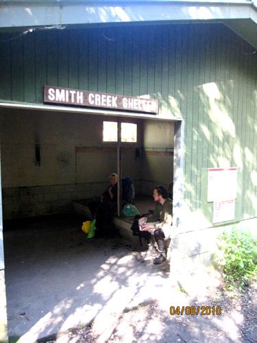
A few kilometres after the bridge we encountered another landmark: the Smith Creek Shelter, where we stopped for a brief rest
After the shelter, we were feeling pretty good. It was sunny, were were more than halfway there – what could go wrong?
A slip. Actually, a bunch of slips, which turned the trail from an easy, level, half kilometre stroll to a 4 kilometre scramble up a sheer hill , down a ravine, back up a hill, down a ravine, back up a hill, and down another near vertical hill face to the original track!
And then we began to hike up again. And (as always), up, and up, and up
And I got (finally, for the first time on the trek) grumpy and discouraged and stopped taking pictures. I didn’t perk up until we finally got to the top, and started winding our way down, and heard cars and saw Upper Hutt.
And, at 4pm, with poor Mr Dreamy having waited since 1pm, we finally finished.
And what do you think we encountered at the end of the trail? I’ll tell you what we encountered at the end of the trail. We encountered an official DOC sign that gave the trail times, and they went like this:
Kaitoke to Tutuwai Hut – 7 hours (this is the stretch we had just done, only in the other direction)
Tutuwai Hut to Totara Flats Hut – 9 hours
Totara Flats to Holdsworth – 8 hours
Everybody else stood in front of the sign, mouth agape, comparing the 3-4 hour difference in the official track guide times with the official track sign times. Me, I just stomped past. And that is why I don’t like DOC very much right now. I could take it if we just turned out to be super slow and did all the tracks in double time, but they can’t even keep their signs and track guides mildly coordinated!
Doc estimate of track time: 4.5 hours. Actual time taken: 9 hours
And, I don’t actually think we were super slow. Slow yes, especially once Shell started having trouble breathing with her cold, but not super slow. Because all the visitor books in each Hut were full of complaints about the condition of the track, how much longer the track had taken then the track estimates, how the slips and diversions weren’t clearly marked, and how some of the diversions were really, really dangerous. So we weren’t the only ones having this problem!
So DOC, in general, I love you, but in the case of this track, you really need to pull up your socks.
Add warnings about the track condition to the track guide! It’s just a simple A4 print out – you could fix it in a few minutes on the computer. Add updates on the track at the Hutt. Heck, if you have given them to me I would have carried them in and pinned them up. At the very least, make the track guide say the same thing as the signs. And make the signs say the same thing on one end of the track and the other.










At least you made it out alive! Do you think you would have still gone if the times (between all) were accurate? I don’t know if I would brave such a journey…
I’m not sure if we would have gone if we had known the times! I might go again though…so I guess the answer is yes..wow…
Huh! That must have been quite an experience. I guess I would have started being grumpy much earlier.
And it makes me, AGAIN, very grateful for the tracks in my country. I don’t live on New Zealand, which might be one of the reasons (no crazy beautiful landscape and dangerous tracks like that), but in general they’re very well mapped and signed and everything. It also probably helps that no one bothers making estimates in hours here – we just get the distance. Which is much more universal.
Wow. What an experience. I’ve had similar one day experiences in the nearby Shenandoah Valley, with my husband and son warning me that they heard a bear roaring…as I ate my granola bar. And we were lost. And no idea when we’d ever get to the end of the trail. and downright exhuasted. And night was falling. And getting cold (Oct) We had no gear. I told them I was prepared to grin down that bear and curl up with him to stay warm for the night. What else was I to do? I kept saying that next time my Eagle Scout husband really needs to check on viable routes with the park rangers. Hmm, now that I read about your experience, that may or may not have been a good idea. I am so glad you all came out so positively in such a negative situation. I love to hike but I prefer to know what I’m up against ahead of time.