This is the story of the hiking trip I just went on.
It started with Shell and I popping into the Department of Conservation (DOC) shop in Wellington and asking for advice on an easy and beautiful 3 to 4 day hiking trip suitable for a group of four hikers: two with no experience and two with a bit of experience.
They enthusiastically told us about the ever so easy, beginner suitable Holdsworth to Kaitoke track, and supplied us with maps, track guides, and DOC passes. They told us about how easy it was, and how it was a popular family track. Sounded perfect.
Umm. Yeah.
Day One – Holdsworth to Totara Flats Hut
We got up early, checked all of our equipment, loaded the car, and drove over the Wairarapa mountains, and parked at Holdsworth Lodge. Packs on, we started off.
And climbed. Up, and up, and up, and up, the ironically named “Gentle Annie” track. 30 minutes in we were all puffing, stopping every few steps, and seriously questioning why were were doing this.
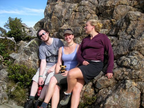
We stopped at the top for views and a group (sans me) photo.
Refreshed, we set off again, on a downhill slope even steeper than the one we had climbed up.
And we went down, and down, and down, and down. For hours.
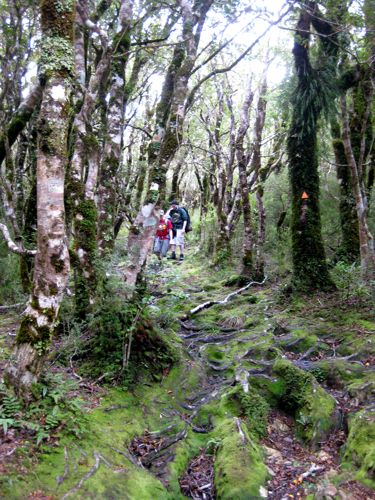
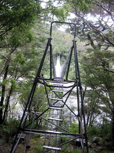
Then we crossed a stream. And hiked through a forest going steeply up over one ridge, and then steeply back down, to cross the streamlet at the bottom, and go up again. And it got darker, and darker, and darker. And we hadn’t reached the hut yet. And then it was totally dark, and we hiked with flashlights, for hours, and hours, and hours. And at 9:30 at night we finally reached the scary, swaying, one person at a time swing bridge, and the hut, and had dinner.
DOC estimation of hike time: 4 hours. Actual time taken: 8.5 hours
Day Two – rest at Totara Flats Hut
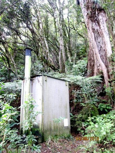
Basically, all I did was sleep, stagger to the loo, and eat. The rest of the group managed a tiny outdoor wander in addition to their eating, sleeping, and moaning. In the evening, we perked up enough to play cards with the teenage boy who was out in the woods on a hunting trip with his uncles. Much merriment, a bit of shouting, and a great deal of lying ensued.
Day Three – Totara Flats to Tutuwai Hut
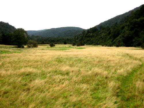
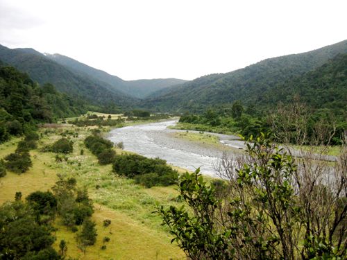
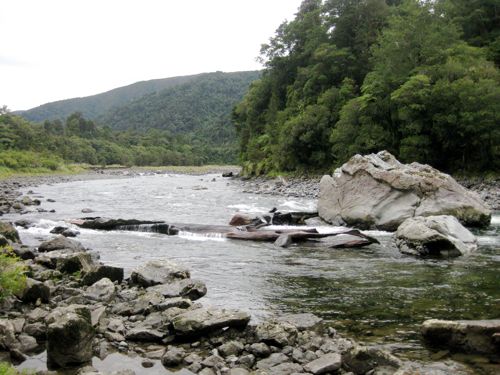
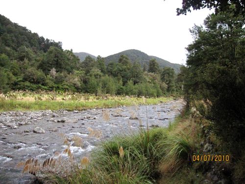
In order to avoid tramping at night, we got up early, and set off from Totara Flats Hut at 9am. The track began easily, winding through the meadow-like flats along the river.
We went up over the a few ridges above the flats and the river, climbing steeply up and then down again
The valley edges moved closer and closer to the river, and the tramp became harder as we had to climb along the valley walls, or scramble over rocks at the rivers edge
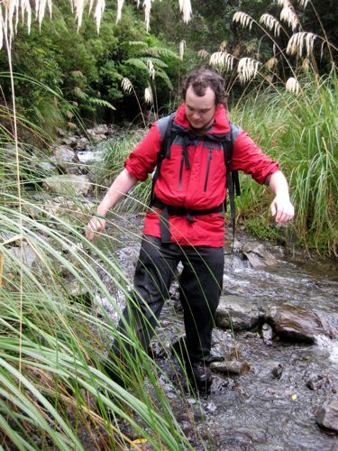
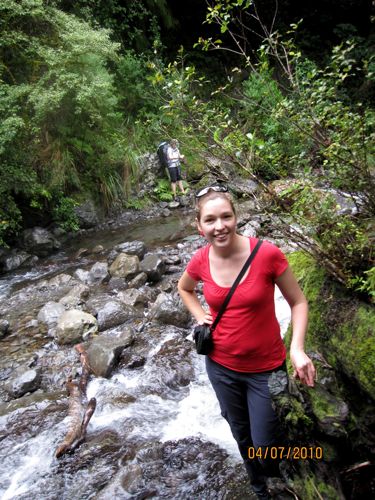
We crossed numerous small streams, trying not too get our feet too wet on a cold, damp day
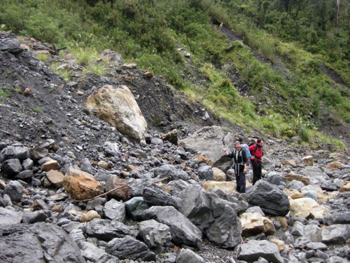
A few slips made the track harder, the loose shale was tricky to navigate, and the path not always clear
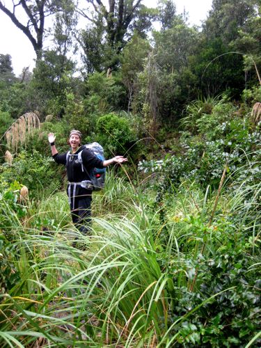
Despite the trickiness of the track, and the inclement weather, we kept our spirits high.
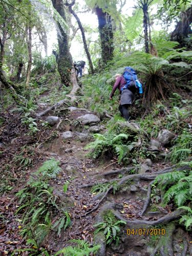
And then we started climbing again. Up, and up, and up, and up, through the woods, and away from the river.
And then my camera ran out of battery, and I realised I didn’t have a spare, so the rest of the photos are taken on The Naiad’s camera, which isn’t as good as mine. And it puts the wrong date on the photos 🙁
And the track kept rising. Not as much as the first day, but still enough for my vocabulary to decline to an astonishing degree. It’s amazing how unladylike I am when faced with the 14th steep incline of the day and wet shoes.
At least when you go up, you get good views. The whole walk was through breathtakingly beautiful scenery. Grassy meadows fringed by totara trees, lush forests dripping with a dozen different varieties of ferns. Thick carpets of emerald green moss beneath towering trees. Sheer cliffs dropping to rushing rivers, running clear over golden rocks. Every turn made you gasp again (though most of the time your breath was already used up in gasping for ordinary air!)
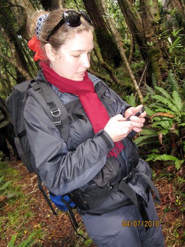
On reaching the top of the mountain, we were excited to discover that we had cell phone reception.
We were less excited to discover how much longer we still had to go.
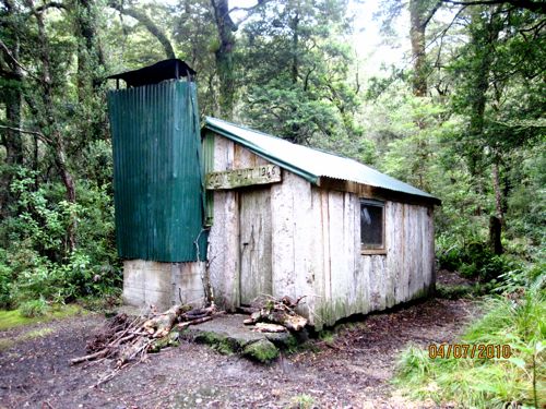
Heading steeply downhill, we finally reached Cone Hut, a historic hut made from slabs of wood.
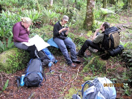
At this point my shoes were completely soaked through, two of my toes were suspiciously purple and swollen, and I just wanted to be dry and warm. So the other three lingered for a cup of tea at Cone Hut, and I forged on, hoping to reach Tutuwai Hut soon.
And finally, just before dusk, I reached Tutuwai Hut. Oh lovely happy civilisation! And the others? Well, they rolled in an hour later…after dark. Again.
And we all got to enjoy the company of a crazy old leisure hunter and his long-suffering son in law for the evening. They got helicoptered in. I think that is cheating.
DOC estimation of hike time: 5 hours. Actual time taken: 9 hours
Continues tomorrow…





wow. I would have keeled over right there at the swinging bridge. I have nightmares about those things…..beautiful place, though!
I’ve only done two hikes in NZ and never an over night one, but the times were quite accurate for Avalanche Peak in Arthurs Pass and the Tongariro Crossing. Guess they are very popular though. Still….double time? Wowzers!
I know! I was so ashamed of us until I read all the other entries of trampers who were also taking 9 hours! And the only people we actually met along the way were hunters, and they all got flown in because the track was too bad!
De-lurking to say: Please don’t badmouth DOC. I’m sorry you didn’t enjoy your tramp, but it’s not their fault. ‘Easy’ is a relative term in this case; there is no such thing as an absolutely easy three day tramp in NZ. It is a mountainous country, any tramp that long will involve steep climbs and drops and plenty of stream crossings. You need to be reasonably fit. In saying that, DOC’s estimates are pretty good (often too generous if anything) and I can’t for the life of me figure out how it took you so long to do those walks. I don’t know anyone who’s had a problem on those tracks.
Also, please don’t go off alone in the bush, and please don’t stop for cups of tea late in the day!
I’ve actually done lots of tramps in NZ, and I almost always do them in less time than DOC says. I actually did enjoy the tramp (and would do it again), but I think that, considering we clearly explained to them how inexperienced two members of our group were, they were ill advised to send us on it.
We also weren’t the only people taking way too long – the visitor books at the huts were full of complaints about how much longer the tracks were than the DOC guidelines. Quite a few groups took even longer than us. I think it is because the trails are really in bad condition – a few of the detours took us over an hour, where the trail that was taken out by the slip was only a dozen metres long, and would only have taken 5 minutes. That adds up really, really fast.
Also, (as I was going to explain in tomorrows post) DOC’s guidelines aren’t consistent. We did portions of the track where the sign on one end gave a 40min estimate, and when you got to the other, the sign gave a 2 hour estimate, and it was a fairly flat track – nothing to make it harder or easier one way or the other!
I like your hiking posts about tramping through Middle Earth. It’s so pretty!
Ha! A chum of mine and three of her friends did that exact tramp earlier this year. They found the track hard to find, the gradient to be extreme and the distance/time to be wildly different to what they had been led to believe. They got to the hut very late after assuming they were lost. Very pretty scenery to be lost in though.
See! I knew we weren’t crazy and totally out of shape! We never found the track hard to find though. At least we can say that!
How lucky you are!! What an absolutely beautiful part of the world you live in… amazing scenery and what an adventure! One you will surely remember for a long time – perhaps a little kind feedback to DOC will ensure that other’s will be forewarned of what to expect. But I can’t help but feel that you have all really relished the adventure… I would suggest better footwear though… nothing more soul destroying than wet feet – guess you know that now! Glad you all appear to have returned safe and sound, at least I am assuming so.
Oh no, a swing bridge at night!! At least it looks a bit more high tech than the ones I grew up with in Fiordland – three ropes and a bit of number 8 wire lol!
The tramp looks awesome though, and it sounds like great times were had, look forward to tomorrows post.
Hi Leimomi. I guess I’m late arriving. I discovered your post because I was looking for info on Tutuwai Hut, which is now closed thanks to a tree falling on it in the last few days. (ugh!)
Great to hear you had a good time between the problems, and sorry to hear about the inconsistent advice from DoC. I don’t know who you would’ve spoken to, but sometimes the people in the visitors’ centres can be a mixed bag as to who you get and how familiar they are with the area. It can also be very hard to judge a person just by looking at or speaking to them, because there’s such a wide range of experience and fitness and expectations, and groups complicate those estimates even more. I think most of the DoC’s published times come from local workers trying to guess who’s most likely to be on a track, and there’s no particular standard. I’m really not sure that times should be published at all in the form that they often are, but people would demand it or say it was stupid if they weren’t.
DoC’s also very underfunded for what many people expect that it should be doing. There are some alerts on DoC’s website that were issued in March which say some fairly ugly things about bits of that track, and I suppose the person you spoke to wasn’t aware of them which is a shame because they should have.
Anyway, it sounds like you had a good time all the same. 🙂